
















Ejercicio 1
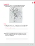
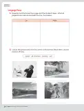
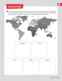
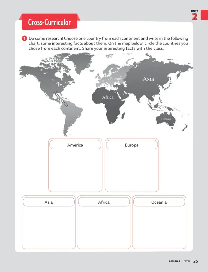
Enunciado (ES): ¡Investiga! Elige un país de cada continente y escribe en el siguiente cuadro algunos datos interesantes sobre ellos. En el mapa de abajo, encierra con un círculo los países que elegiste de cada continente. Comparte tus datos interesantes con la clase.
Enunciado (EN): Do some research! Choose one country from each continent and write in the following chart some interesting facts about them. On the map below, circle the countries you chose from each continent. Share your interesting facts with the class.
- Seleccionar un país representativo por continente (América, Europa, Asia, África y Oceanía).
- Investigar tres datos breves y verificables de cada país (capital, idioma, moneda, población, atracción turística).
- Escribir los datos en el cuadro correspondiente del organizador gráfico.
- Ubicar cada país en el mapamundi y encerrarlo con un círculo dentro de su continente.
- Preparar una breve presentación oral en inglés para compartir con la clase.
Respuesta orientativa (ejemplo de cuadro completado):
| Continente | País | Datos interesantes |
|---|---|---|
| America | Canada | Capital: Ottawa. Idiomas: English and French. It has the longest coastline in the world. |
| Europe | Spain | Capital: Madrid. Language: Spanish. It is famous for flamenco and paella. |
| Asia | Japan | Capital: Tokyo. Language: Japanese. It is made up of more than 6,000 islands. |
| Africa | Egypt | Capital: Cairo. Language: Arabic. The Nile River, the longest in the world, flows through it. |
| Oceania | Australia | Capital: Canberra. Language: English. It is home to the Great Barrier Reef. |
Respuesta
Un país por continente con sus datos y su ubicación marcada en el mapa.